
The birth of GeoNet Rapid
The launch of GeoNet Rapid, in 2012, marked a significant step forward in how New Zealand detects and shares information about earthquakes. Developed over several years and released as a public beta, GeoNet Rapid introduced a fundamentally faster approach to earthquake location by adopting the international SeisComP3 system. This shift was driven by the need for speed and reliability, a priority highlighted even before the Canterbury earthquakes and reinforced by the demands of major seismic events.
GeoNet Rapid was important because it replaced a system reliant on manual review with one capable of automatic, near‑real‑time earthquake locations. Instead of waiting for duty officers to process events individually, the new system could generate initial locations seconds after seismic data arrived and continuously refine them as more data flowed in. This meant thousands of earthquakes each year, not just the largest or most widely felt, could be located, tracked, and shared rapidly.
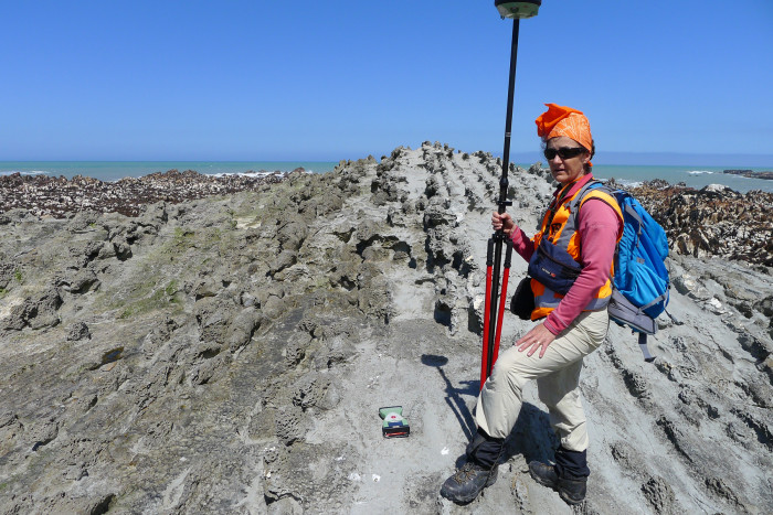
While scientists measured the coastal uplift caused by the Kaikōura earthquake after the event, GeoNet Rapid was a step forward in. Photo: Earth Sciences NZ
The change enabled scientists to work with richer, more dynamic data, including location histories that reveal how solutions evolve over time. By using a three‑dimensional velocity model, GeoNet Rapid also strengthened the link between operational monitoring and research, improving the accuracy of earthquake science and tightening feedback between data collection and analysis.
Looking ahead, GeoNet Rapid laid the groundwork for faster public information, mobile applications (The GeoNet Quake app also launched in 2012), felt‑report integration, and improved hazard products such as shaking intensity maps. It represents a shift toward real‑time science that continues to shape how New Zealand prepares for, responds to, and learns from earthquakes today and into the future.
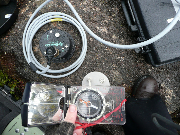
Data from seismology equipment like this in Fiordland was processed far faster after the introduction of GeoNet Rapid. Photo: Earth Sciences NZ