
Shaping smarter land use decisions for New Zealand
For nearly 30 years, the Pakuratahi land-use study has compared forestry and pastoral farming across real catchments – enhancing New Zealand’s understanding of how different land uses impact the environment.
Land use research helps address big environmental challenges
This in turn helps address big environmental challenges around extreme weather events and forest and farm management.
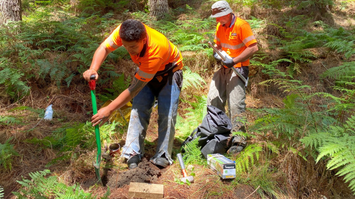
By tracking catchments through harvesting, replanting and canopy closure, the ground-breaking study has shown well‑managed forestry can deliver significant environmental benefits. Its findings have directly informed forestry practice, strengthened regulation and helped rebuild trust in how forests are managed, particularly in response to concerns about erosion, water quality and extreme weather events.
Now researchers are using modern tools such as LiDAR and environmental DNA to reflect today’s challenges — including more extreme weather, evolving forest management practices and growing pressure on land to deliver productivity and environmental outcomes – and inform long-term environmental strategies. The work is creating a blueprint that can be applied to other catchments across the country, helping decision‑makers plan land use that protects waterways, reduces erosion, supports climate resilience and keeps rural communities productive.
The Pakuratahi study shows what’s possible when science, industry, councils and landowners work together. The collaborative study – bringing scientists together with regional and national partners, forestry organisations, landowners and education providers – shows how long‑term science can deliver practical outcomes that benefit the environment, rural communities and wider New Zealand as a whole.