
Modelling the ups and downs
Reliable information about river flows is essential for predicting floods and droughts. It also helps us understand water supply, hydroelectric generation, and ecosystem health. Turning rainfall forecasts into useful flow predictions requires models that can show how water moves through landscapes, from hills and soils into streams and rivers.
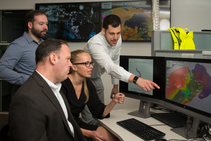
Weather forecasters analyse meteorological information that assists them in predicting potential floods. Photo: Earth Sciences NZ
Scientists have developed the country’s only national-scale flow forecasting model designed specifically for our diverse catchments. Called the Aotearoa Flood Awareness System, the model combines weather forecasts, land surface information, and hydrological science to estimate relative river flows consistently across New Zealand, from small headwater streams to major river systems.
New Zealand’s steep terrain, varied geology, and rapidly changing weather all present challenges that overseas systems do not capture well. By tailoring the model to local conditions, the researchers improved its ability to respond to intense rainfall, snowmelt and drought. This provides decision makers with a national-scale view of river conditions across the country, instead of relying on isolated site-based forecasts. The tool can help with earlier warnings of high flows, better planning for water allocation, and clearer assessments of hydrological extremes.
The next steps for the work involve connecting the relative flow forecasts with rapid inundation modelling, and forecasting further ahead by combining ensemble weather forecasts that can predict up to five days ahead. A proof of concept using AI has been demonstrated in Westport. Further work is needed to refine this approach and scale it nationally.